Gas Fields and Remote Wells
Create one operational view across broad field areas, scattered wells, service locations and temporary operating zones.
Create one operational view across broad field areas, scattered wells, service locations and temporary operating zones.
Maintain accountability across long linear assets, remote maintenance activity, patrols and dispersed response teams.
Combine site occupancy, zones, visitors, contractors and incident status in a centralized view.
Support personnel visibility across offshore facilities, vessels and temporary evacuation locations.
Include changing contractor populations, temporary zones and project-site access data without limiting visibility to the project gate.
Account for employees, drivers, visitors and contractors across operational areas and incident workflows.
Represent buses, convoys and transport movements as mobile operational zones.
Provide authorized headquarters teams with a bird's-eye view across subsidiaries, joint ventures, contractors and operating sites.
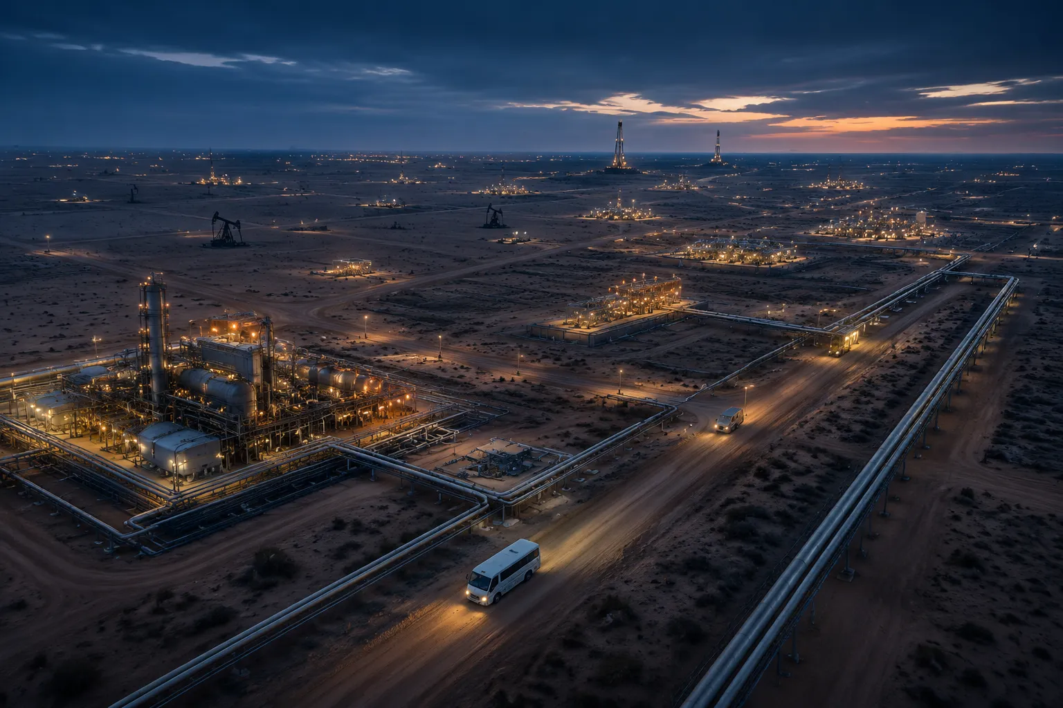
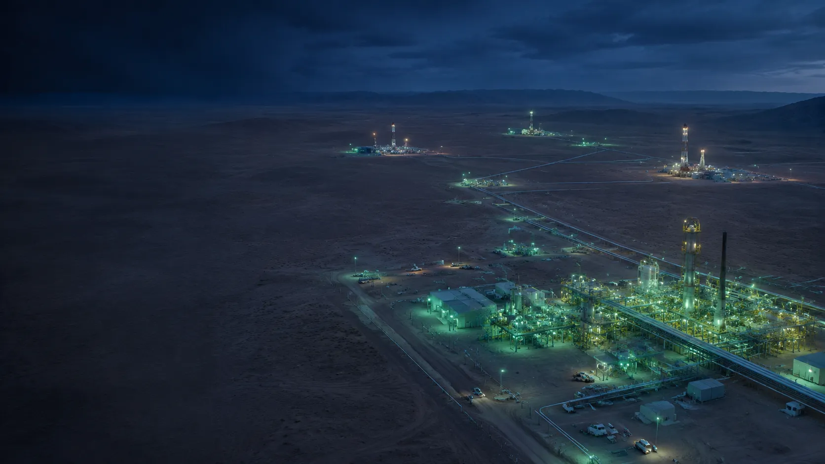
LivePOB originated from a gas-field environment covering approximately 84 km², with nearly 200 km of pipeline and numerous remote drilling locations. That operating reality shaped a platform designed for people who may move beyond fixed perimeters during daily work, evacuation or incident response.
Maintain a current POB view, zone context, visitor records and multi-site oversight.
Receive SAFE and HELP reports, keep non-responders visible and focus operational follow-up.
Review HistoricalPOB, transaction logs, incident records and Movement Path evidence.
Discuss how LivePOB can support facilities, pipelines, remote operations and mobile teams within one group structure.